 Rhumb line versus Great circle
One may be surprised to see, on a map, the curved appearance of the trajectories taken by long-haul flights, or by ships during major races. This is due to the projection of the globe, a spherical surface, onto a map, a flat surface. This projection necessarily induces deformations.
Mercator projection is often used because it respects the angles with the meridians, but on the other hand it does not respect the surfaces: the polar regions are very strongly stretched horizontally and vertically (one can not represent the poles because they are rejected to infinity).
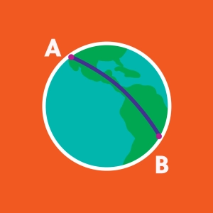
A great circle route is the shortest route between two points on the globe. It is represented in red on the simulation. It is only along a meridian that its representation on the Mercator map is a line segment. To follow the great circle route (also called orthodromic line), a ship must constantly adjust its course.
If the ship has a constant course, its route follows a rhumb line (also called loxodromic line), in blue on the simulation. It forms a spiral that wraps around the globe. But on the Mercator map, it is straight, because the Mercator projection preserves the angles.
